height profile
Description
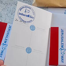
On our way through Austria to the east, the Arlberg is the highest crossing, and Sankt Christoph, which is located there, is therefore also the highest stage location. It's our last stage in Vorarlberg, because tomorrow we'll be hiking in Tyrol. It is also the last stage in the Rhine catchment area, a catchment area that we entered some time ago at Lake Geneva above Lausanne. Starting tomorrow we will be in the Inn and Danube catchment area, which the JERUSALEM WAY will then follow to the Balkans. The path up the valley to the Arlberg Pass is a historical and important traffic artery, but tunnels were dug for both the railway and the motorway to relieve traffic and winter safety. Thanks to these investments, the pass has also remained reasonable for "slow traffic". At the beginning, our path leads us a few times uphill on disused railway lines on the sunny side of the valley, and in the upper part we often follow the «Altelz» stream on the valley floor, which we now know very well. Before we get to the top of the pass, there is accommodation in the "Landhaus Maria" at a special price, including a Jerusalemweg stamp with a dove of peace! Contact see below.
DOWNLOAD GPS ROUTE ON MOBILE PHONE
Pilgrim accommodation (examples)
- 6762 rooms: Country house Maria
Pictures
Facts & figures
Useful apps
We recommend the "Mapy.cz" app for use on smartphones and offline navigation.


