It all begins
with the first step…
The world’s longest peace route
Walking together
on the Jerusalem Way
Jerusalem Way From Finisterre to Jerusalem


Walking together –
across borders, towards peace
The Jerusalem Way is the world’s longest peace and pilgrimage route. The route leads from the ‘End of the World’ in Finisterre (Spain) to the ‘Beginning’ in Jerusalem – the intersection of world religions and cultures. The route connects 19 countries on two continents over approximately 8,500 km.
Due to its international dimension and its historical and cultural background, the Jerusalem Way is an official candidate for certification as a Cultural Route of the Council of Europe. The project is currently in the ongoing evaluation process. The desired certification underlines the Jerusalem Way’s contribution to international understanding, intercultural dialogue, and peacebuilding at an international level.
About the Jerusalem Way
The Jerusalem Way was born in 2006 from a vision – the idea of a route from the heart of Europe to Jerusalem. In 2010, this vision was put into practice and the international peace project Jerusalem Way was created. Over time, the route expanded from the “end” of Europe in Finisterre to the “beginning” in Jerusalem. Since then, the cultural route has been continuously extended and today connects people, countries, and cultures.
The Jerusalem Way builds bridges between religions, nations, and cultures. It stands for dialogue, reconciliation, and peace. The logo with the dove of peace is both a waymark and a universal symbol of peace. Learn more in the FAQ.
Pilgrims of Peace – Pilgrims of Hope (Peregrinantes in Spem): They break down their own prejudices, build bridges to people, and do grassroots peace work for the human family. On the long journey to Jerusalem, the pilgrim passes through countries of all three monotheistic religions and diverse cultures – in the most original sense of the word a Peregrinus, a stranger in a strange land.
Great hospitality shapes the route – whether in the Balkans, in Turkey, in Jordan, or in Palestine & Israel. Even if we are still far from it, Jerusalem as a holy site stands for the hope of a peaceful coexistence of the human family.
The route is structured like a river system: numerous pilgrimage paths branch off from the main stream, leading eastward from Europe. View Route Overview
The Jerusalem Way passes through numerous important places and UNESCO World Heritage Sites – including Santiago de Compostela, Vienna, Belgrade, Thessaloniki, Troy, Ephesus, Konya, Damascus, Amman, Jerusalem. It connects spiritual places with the challenges and opportunities of the present.
Thousands of people have already walked the route – on foot, by bike, or in other ways. Impressions and experiences: Go to the pilgrim reports
Every journey begins with the first step. Be part of the Jerusalem Way – by joining the pilgrimage, helping out, or providing support. Learn more: OPEN HERE
Countries
Continents
km
Destination
15 years of JERUSALEM WAY – a living pilgrimage and peace route from Europe to Jerusalem
The JERUSALEM WAY is an international pilgrimage and peace route that connects Europe with Jerusalem and brings people together across cultures and religions.
Events, News & Updates


Journey V/VII: Turkey – Spots still open – Sept. 25 to Oct. 09. 2026

Historic moment after 15 years – Pilgrim reaches Syria on foot on the Jerusalem Way

Installation of Peace Dove in Arbing – Founding Place of the Jerusalem Way!


Last-minute Invitation: Joint Pilgrimage on the Jerusalem Way. Date: Wed Oct 16 – Sun Oct 20, 2024


Installation of Peace Dove and Opening of the Jerusalem Way in Fulda!


The Peace City of Linz became a partner of the world’s longest peace route!


On the road on the Jerusalem Way, the world’s longest pilgrimage route through all of Austria!


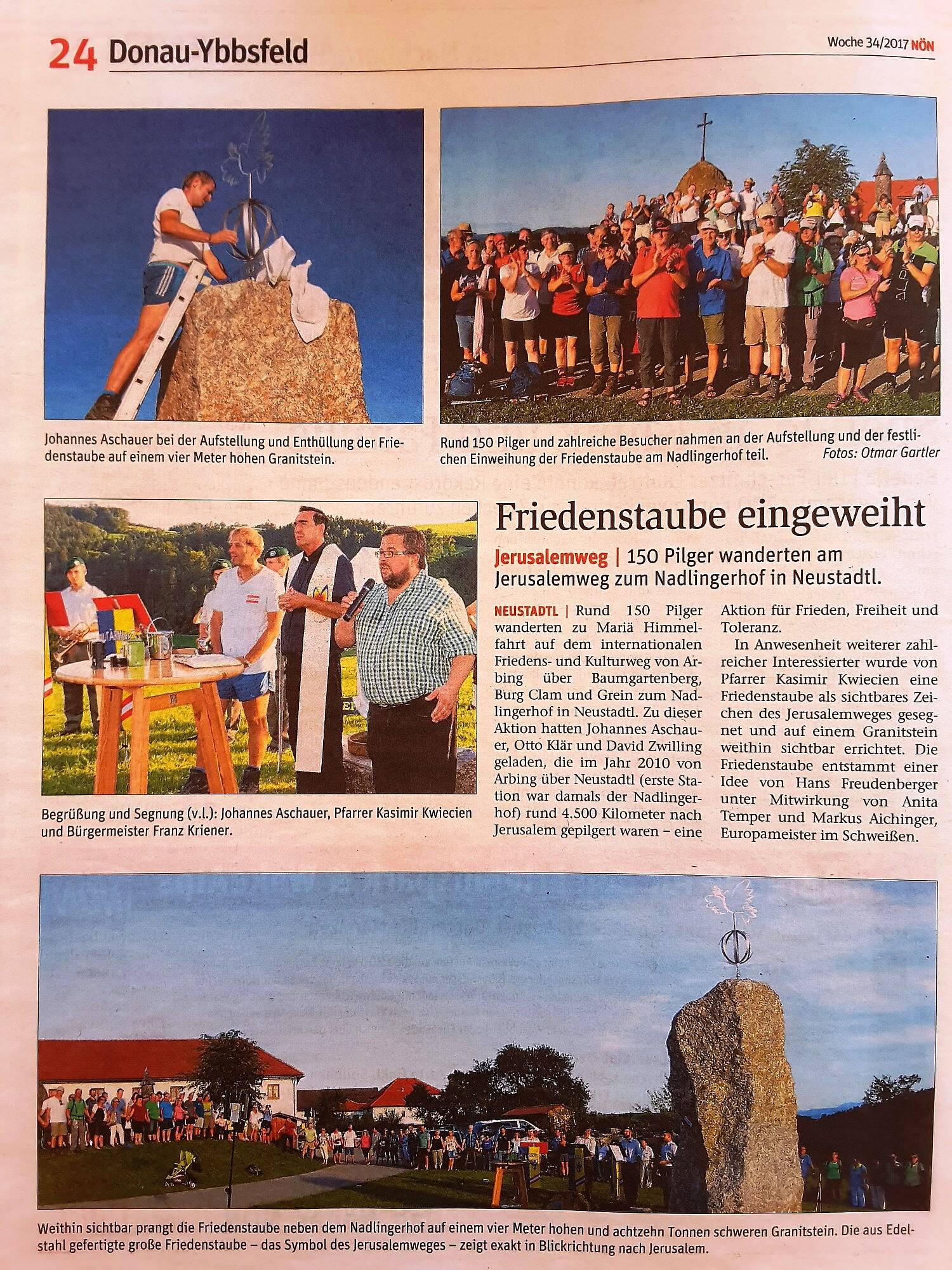
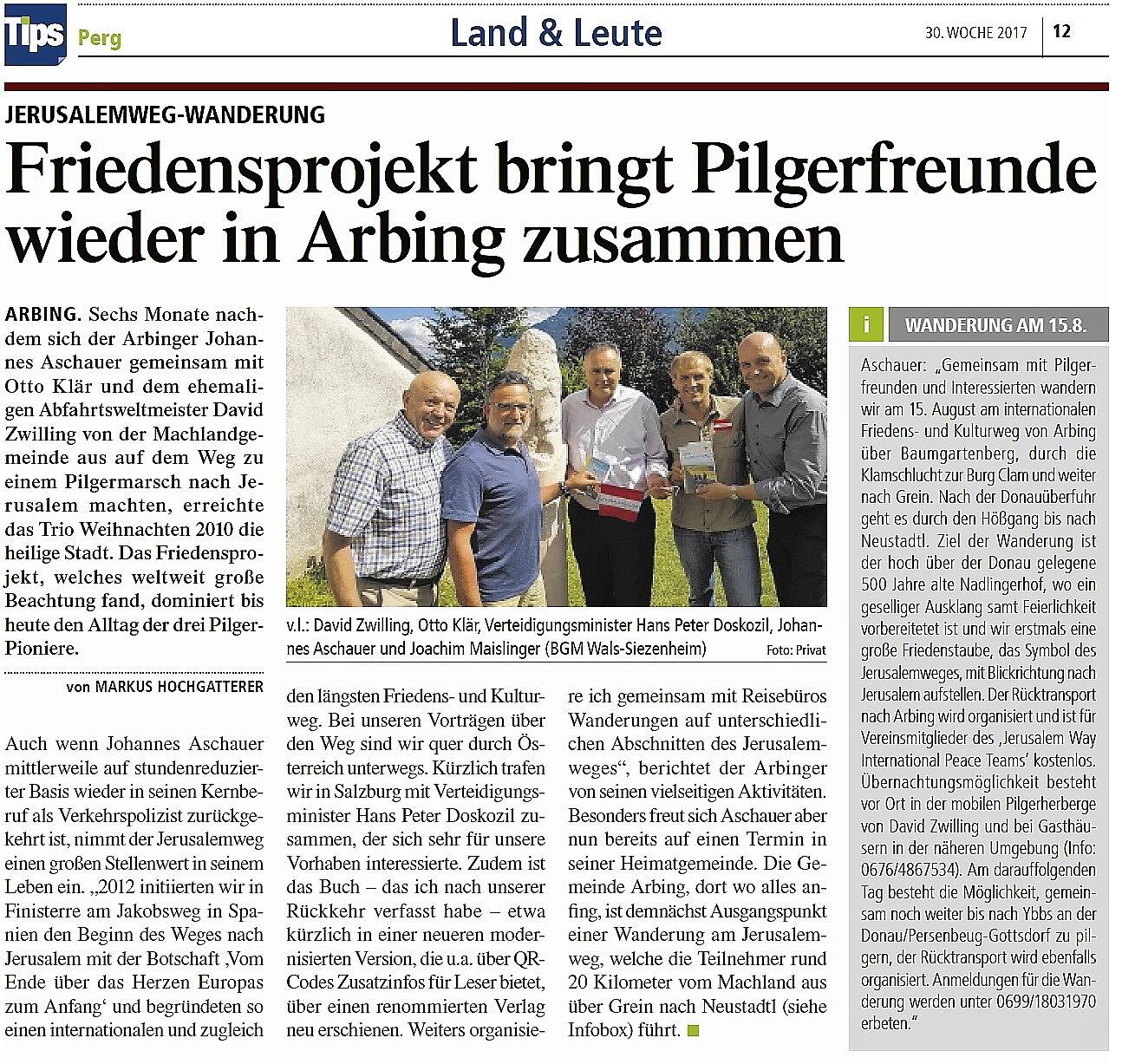
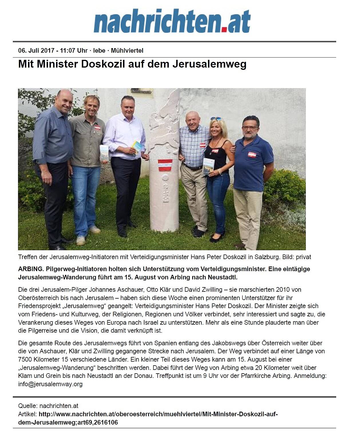


Photo Gallery & Traveling Exhibition: “Jerusalem Way – The World’s Longest Peace and Pilgrimage Route”


Journey V/VII: Turkey – Spots still open – Sept. 25 to Oct. 09. 2026
Historic moment after 15 years – Pilgrim reaches Syria on foot on the Jerusalem Way
Photo Gallery & Traveling Exhibition: “Jerusalem Way – The World’s Longest Peace and Pilgrimage Route”
Installation of Peace Dove in Arbing – Founding Place of the Jerusalem Way!
Installation of Peace Dove and Opening of the Jerusalem Way in Fulda!
The Peace City of Linz became a partner of the world’s longest peace route!
Photo Gallery & Traveling Exhibition: “Jerusalem Way – The World’s Longest Peace and Pilgrimage Route”
Historic moment after 15 years – Pilgrim reaches Syria on foot on the Jerusalem Way
Last-minute Invitation: Joint Pilgrimage on the Jerusalem Way. Date: Wed Oct 16 – Sun Oct 20, 2024
On the road on the Jerusalem Way, the world’s longest pilgrimage route through all of Austria!
Installation of Peace Dove in Arbing – Founding Place of the Jerusalem Way!
Installation of Peace Dove and Opening of the Jerusalem Way in Fulda!
The Peace City of Linz became a partner of the world’s longest peace route!
Love is the strongest force in the universe – it permeates and connects everything and builds bridges between all people. Pilgrimage creates openness for encounters, reduces prejudices and fears, and strengthens trust – primal trust. In this way, perceived boundaries between peoples and religions can be overcome with love and mutual respect.
Film presentations
The live moderated film presentation/cinema was created from 15,000 photos and 20 hours of film material in collaboration with an ORF employee.