height profile
Description
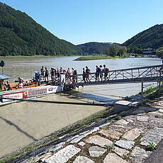
We take the ferry across the Danube! Attention: Ferry operating time is May to September from 09:00 to 18:00 (Details see here). Alternatively, you could also go over the Danube Bridge, which is a detour.
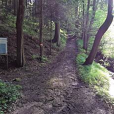
When we have arrived on the other side of the Danube, we now hike a bit down the Danube on the right bank. Incidentally, we are in the historic Strudengau, whose name comes from the many dangerous whirlpools and shoals. It was therefore considered to be the most dangerous section of the Danube for shipping between Regensburg and the Black Sea by boatmen. Not even the passage through the "Iron Gate" in Romania was as feared as this passage, the whirlpools and rapids with their shoals were fatal to many ships. Under Empress Maria Theresa in 1777, this area was somewhat mitigated by blowing up the cliffs, but it was not until 1956 that the nearby Ybbs-Persenbeug Danube power station was completed, that the situation was finally mitigated. We then pass the village of Hößgang, where we turn right in the area of the inn of the same name to get up to the Donauhöhenrücken. A short and somewhat strenuous stage up through the forest now lies ahead of us, but later we will not only be rewarded with beautiful views!
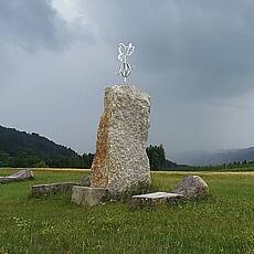
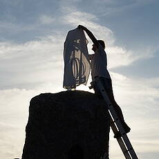
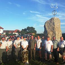
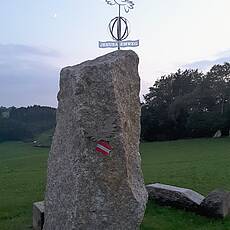
Because at the top is the very first dove of peace or on the Jerusalem way !! This special premiere, the ceremony took place on August 15, 2017 instead of! The dove is handmade from stainless steel and looks exactly to Jerusalem! Of course there is also a Jerusalem Way stamp.
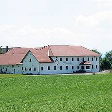
The Mostschenke Nadlingerhof, including the adventure museum, invites you to rest and eat at the weekends, sometimes with a campfire, etc. And if the previous stage has not already ended here in Grein, there may be overnight accommodation for Jerusalem pilgrims. In order not to stand in front of a closed door or to be able to get the stamp, please call in good time at: +436764867534 (www.nadlingerhof.at).
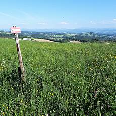
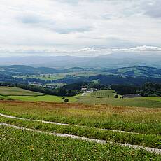
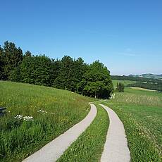
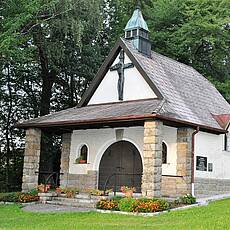
After a rest or overnight stay in the 500-year-old farm, we keep to the right at the end of the farm and follow the themed trail over the gentle hills of the Mostviertel to the vicinity of Neustadtl an der Donau where a special vantage point awaits us. Once at the top, we keep to the left, soon meet the Way of St. James and from now on we walk in the opposite direction to the Lueger Chapel, also in the municipality of Neustadtl an der Donau. It is worth seeing and a listed building. In the Berghof area we keep left down to Willersbach in order to get back to the Danube. The Gasthof Krenn invites you to take a break in the guest garden, and a campsite and overnight accommodation are also planned. From then on, the path continues in the vicinity of the Danube and subsequently reaches the imposing Ybbs-Persenbeug run-of-river power station. It is the oldest and one of the most powerful Danube power plants in Austria! So, coming from the historic Strudengau, we now reach the legendary Nibelungengau! Before crossing the power station bridge, we pass the tourist information office on the right hand side, including a small restaurant / snack stand. And within sight of there is the Weinberger Bakery & Motel, which offers inexpensive rooms and space for groups of up to 25-30 people! Whether we sleep here or continue today, one way or another the way leads us over the power station bridge.
As we cross, we feel the hum of the mighty turbines under our feet and reach the left bank of the Danube. When we cross the power station, we also leave the “Mostviertel”, one of the districts into which the federal state of Lower Austria is divided, the stage location Persenbeug-Gottsdorf is already in the “Waldviertel” and at the same time dive step by step deeper into the Nibelungengau in the coming days a.
Pictures
Facts & figures
Useful apps
We recommend the "Mapy.cz" app for use on smartphones and offline navigation.
